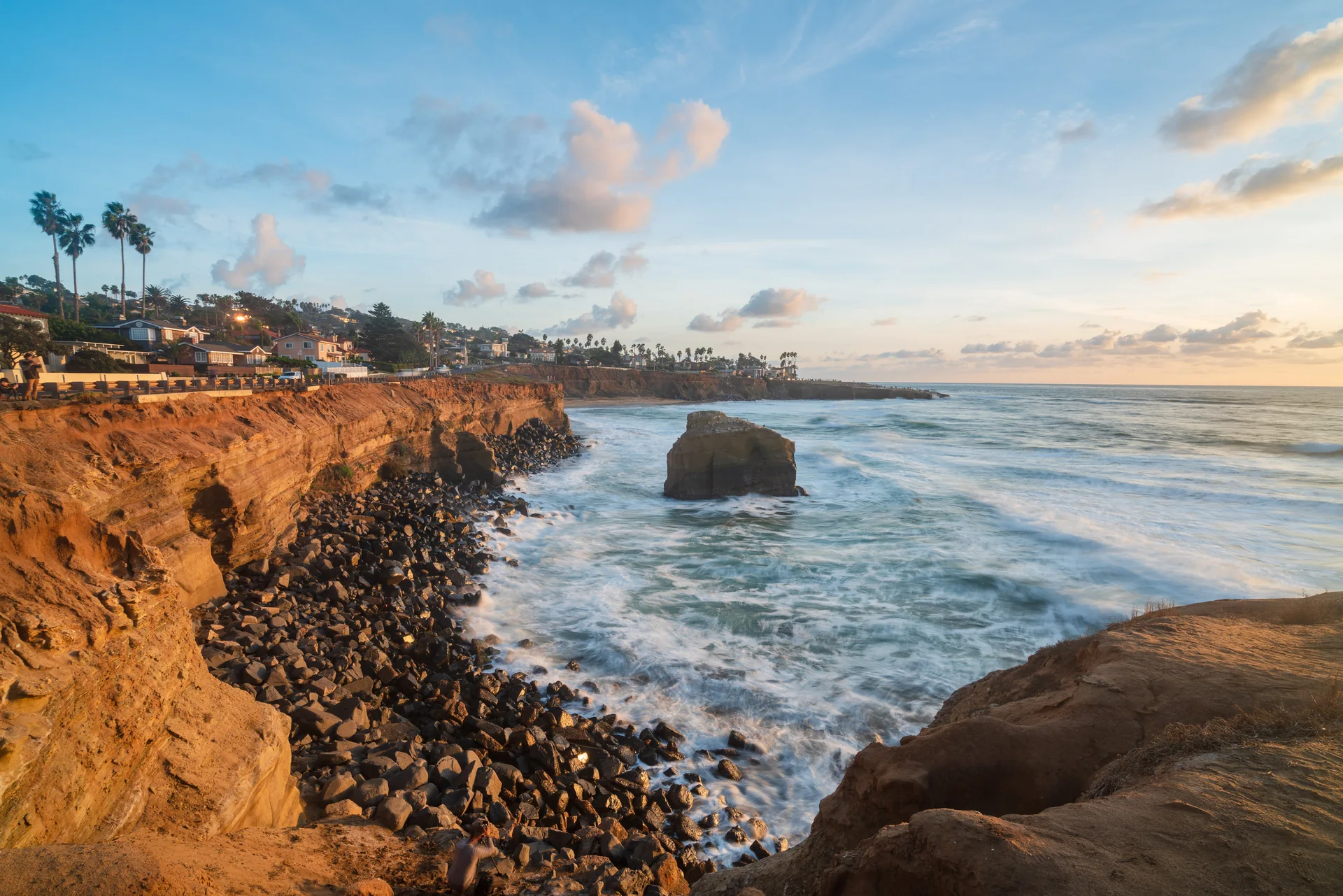
Sunset Cliffs: designing for the coast means knowing when to stop
Read Sunset Cliffs as a coastal landscape, not an empty site: habitat, trails and erosion shape how public access should work along the western edge of Point Loma.
ExploreSunset Cliffs: designing for the coast means knowing when to stop
At Sunset Cliffs, the most important design question is not what to add to the view. It is how people can experience a coastal landscape without treating the land between the street and the ocean as expendable. The City describes Sunset Cliffs Natural Park as a resource-based park along the western edge of Point Loma.[5] That designation provides a better starting point than the familiar idea of a sunset photo stop.
01 
 02
02 
 03
03 
Two parts of one landscape
The City’s park overview identifies an 18-acre linear section west of Sunset Cliffs Boulevard between Adair and Ladera streets, and a 50-acre hillside section designated as a multiple species conservation area. It describes coastal bluffs, arches and sea caves among the landscape’s features.[5] These are descriptions of the setting, not an invitation to climb down cliffs or enter caves.
The distinction between the linear and hillside sections matters. A strip beside a street and a larger conservation landscape do not present identical access problems. Looking at a map before arriving is more useful than assuming every visible track belongs to the same continuous visitor route. A path’s apparent convenience does not establish that it is an appropriate route to use.
Trails are a design decision
The City’s page for the Hillside Improvements Project describes a scope that combined native revegetation, improvements to existing trails, closure of tertiary paths, overlooks, seating and interpretive signs.[6] Read that page as a record of a project whose schedule began in 2018, not as evidence that construction is happening now or that each proposed feature is currently available.
The documented objectives explain the design logic: improve access while reducing erosion and restoring habitat.[6] Those goals can pull in different directions. More informal paths may appear to offer more freedom, but the project’s decision to close smaller tracks shows why access cannot be evaluated by path count alone. Concentrating movement can be part of caring for the larger landscape.
This is also a reason to resist describing a natural park as untouched. Decisions about routes, revegetation and interpretation influence what visitors see and how they move. Good landscape work can be consequential without becoming the dominant visual object. Here, the useful question is whether the visitor experience leaves room for the coast’s ecological role.
A careful visit is part of the design
Use designated routes, observe barriers and posted closures, and stay well back from bluff edges. Do not infer safety from a photograph, a footprint or someone else standing closer to the water. This article does not assess current cliff stability, tides or trail conditions, and it does not recommend cave access or cliff descents.
Check the City’s park page when planning practical needs. Its descriptions of the Ladera Street, Luscomb Point and Osprey areas note limited parking arrangements and the absence of restrooms.[5] Allow for that rather than assuming the amenities of a developed waterfront promenade. The most useful way to read Sunset Cliffs is as a landscape with limits: a place where routes and restraint matter as much as a destination, and where not filling every open space is itself a design choice.
Sources & further reading
- [5] Sunset Cliffs Natural Park | City of San Diego Official Website
- [6] Sunset Cliffs Natural Park-Hillside Improvements Project Phase 2 | City of San Diego Official Website
Sources checked for this story. Access conditions and project details can change; consult the responsible organization before visiting.
Photographic index
A closer look. Select a photograph to open the full image.
Related stories
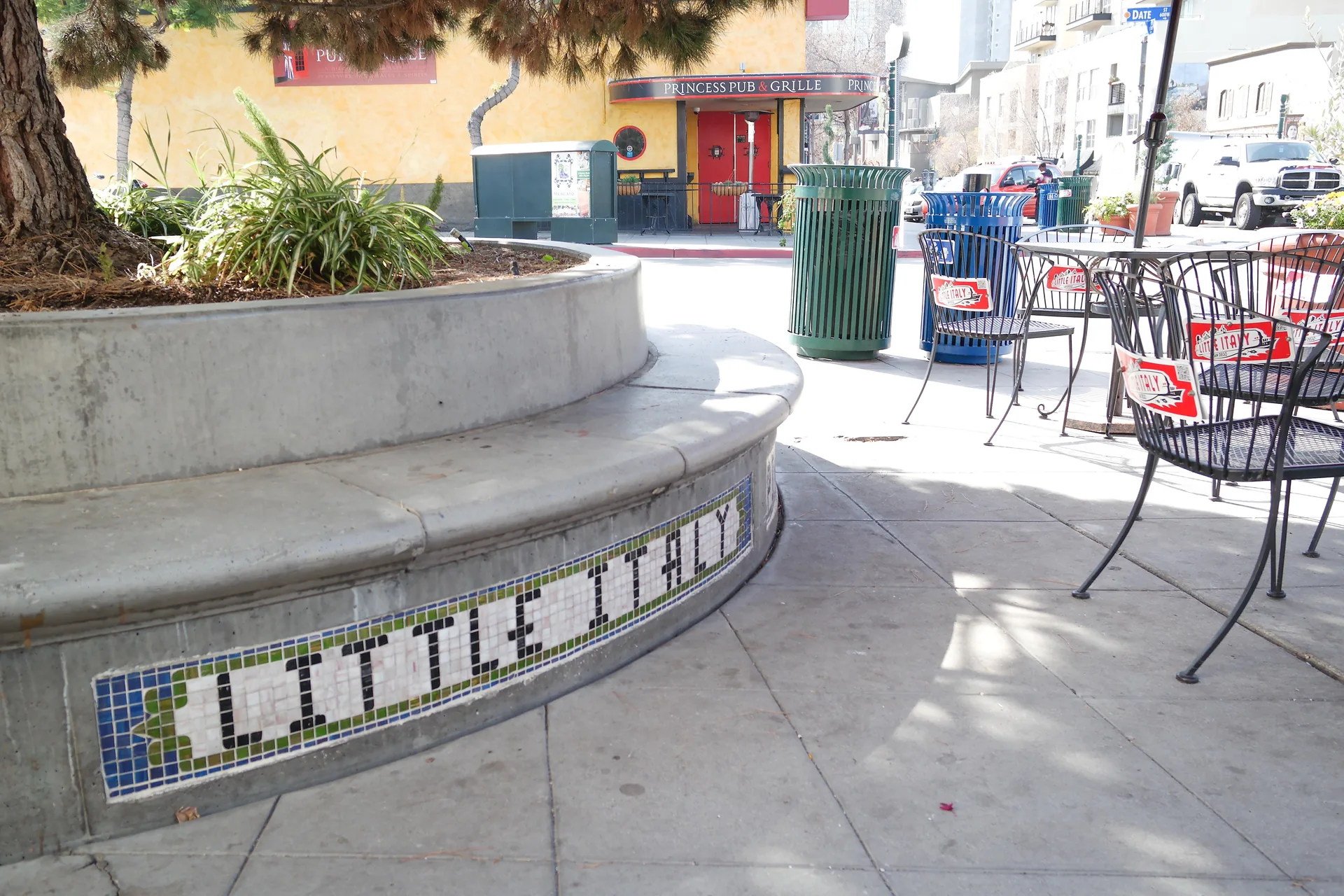
Little Italy’s public rooms: a piazza is more than paving
Read Little Italy through Piazza della Famiglia and Amici Park: seating, active edges and different kinds of shared space, beyond the restaurant itinerary.
At the Salk Institute, the space between buildings does the work
Explore Louis Kahn’s Salk Institute through its courtyard, adaptable laboratories and carefully handled materials, with official guidance for planning a visit.