Golden Hill: character in the blocks, not just the skyline
Read Golden Hill through its terraces, canyons and varied architecture, distinguishing the neighborhood from its planning area and disclosing ALÜM’s CAST connection.
ExploreGolden Hill: character in the blocks, not just the skyline
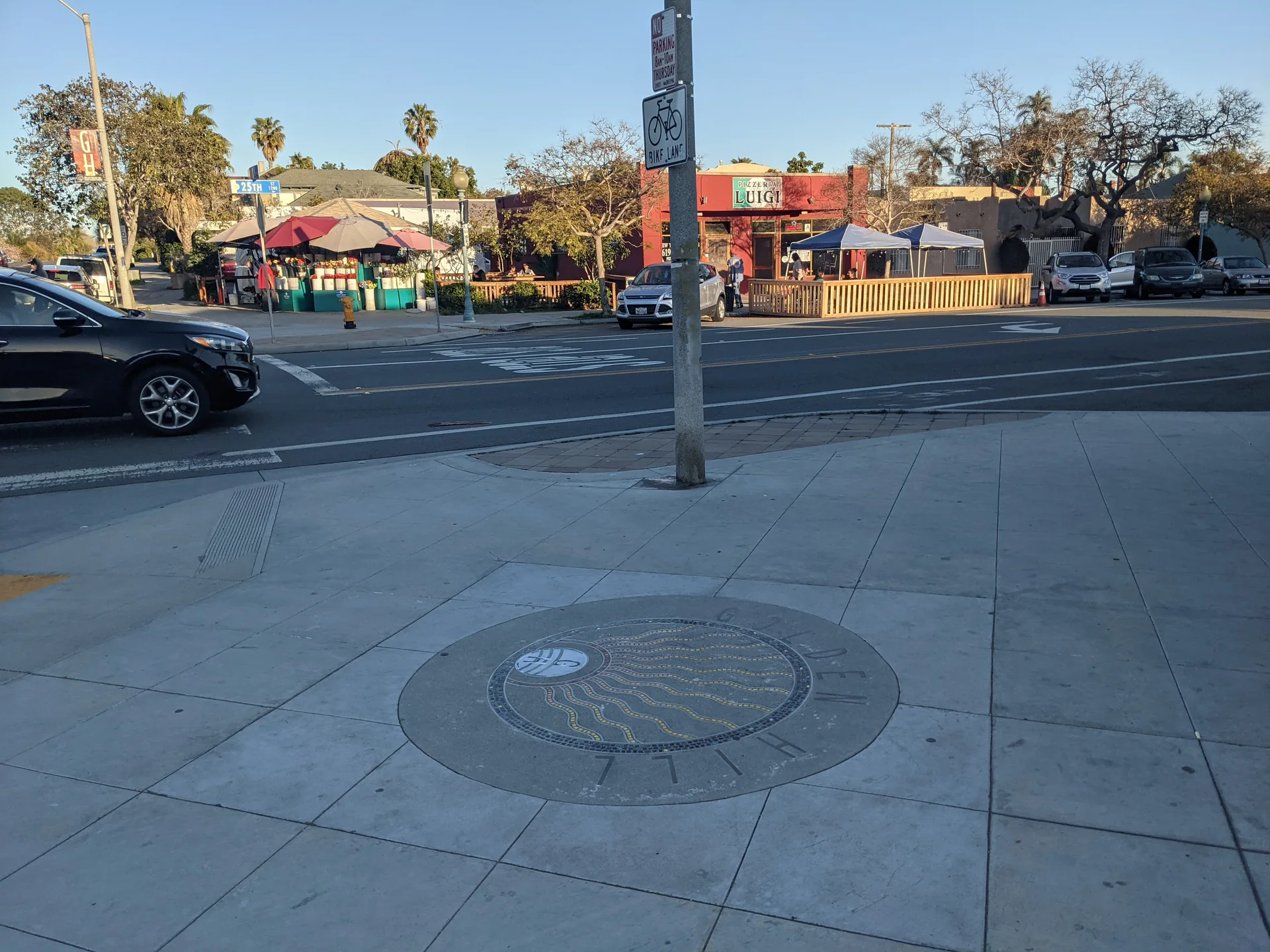
Golden Hill is worth reading at the scale of a block, not only through its relationship to Downtown. The City describes the larger Greater Golden Hill planning area as a landscape of marine terraces interrupted by four steep canyon areas, with an eclectic mix of architectural styles.[7] Those facts suggest a guide organized around landform, everyday streets and the relationship between buildings—not a search for a single defining facade.
 01
01 
 02
02 
 03
03 
Name the area carefully
Golden Hill the neighborhood and Greater Golden Hill the planning area are not identical. The City’s planning overview includes both Golden Hill and South Park, along with adjacent areas such as Choate’s Addition and Brooklyn Heights, within the approximately 746-acre planning area.[7] Its community plan describes A Street as the boundary between the Golden Hill and South Park neighborhoods in the broadest sense.[8]
That distinction matters when reading a statistic, a map or a development proposal. A statement about the planning area should not quietly become a statement about every block of Golden Hill. Neighborhood identity can be more nuanced than an administrative outline, but naming the geography is still a useful first step toward a reliable guide.
Let the landform explain the street
The community plan describes a gradual rise across the planning area interrupted by canyons. It also identifies nearby freeways and topography as constraints on connections.[8] The result is not adequately captured by saying that Downtown is nearby. Proximity and ease of movement are different things.
For a walk, compare the map with the route on the ground. Notice where a street continues, where a slope becomes part of the experience and where a crossing needs attention. Avoid assuming that a promising line on a map is a continuous pedestrian route. This is a way to understand the place rather than a prescribed itinerary or a claim that all streets offer the same level of comfort.
Variety is part of the character
The City’s overview emphasizes the contribution of traditional buildings to the community’s scale, character and identity.[7] The plan also describes a fine-grained development pattern and a variety of housing types.[8] Together, those accounts argue for looking beyond a shortlist of conspicuous houses. The spaces between buildings, their relationship to the sidewalk and the pattern of entrances are all worthwhile things to examine.
When considering new construction, ask specific questions. Does the ground floor acknowledge the street? How is the entrance found? What changes at the edge of the site? These are editorial design questions, not a finding that a particular project complies with planning rules. A community plan provides context and policy; it is not a substitute for checking a project’s individual record.
A disclosed connection at 25th and C
ALÜM’s official website identifies the project as a mixed-use residence by CAST Development at 1101 25th Street, at C Street.[10] San Diego Taking Shape is CAST-owned, and ALÜM is a CAST-affiliated neighborhood connection—not an independent editorial recommendation. Readers interested in the project should use its official website for details. No pricing, availability or completion claim is made here.
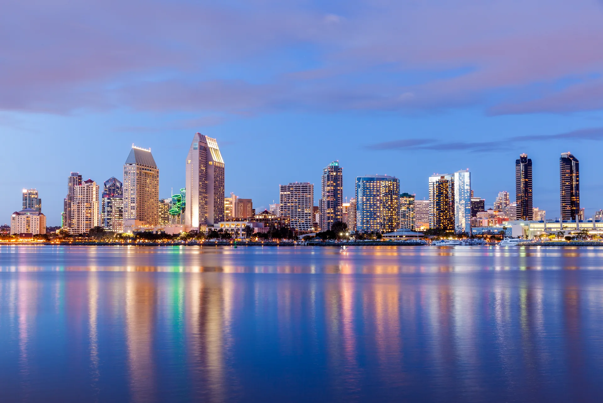
The accompanying skyline photograph is a view of Downtown from Coronado. It supplies broad city context only; it does not show Golden Hill or establish a view from ALÜM. The neighborhood’s more useful story remains at street level, where the terrain and the individual blocks can be read on their own terms.
Sources & further reading
- [7] Greater Golden Hill Community Plan | City of San Diego Official Website
- [8] City of San Diego: Golden Hill Community Plan (2016)
- [10] Alüm · A Residence on Golden Hill · 25th & C, San Diego
Sources checked for this story. Access conditions and project details can change; consult the responsible organization before visiting.
Photographic index
A closer look. Select a photograph to open the full image.
Related stories
Bankers Hill and Balboa Park: reading the neighborhood at its edge
Explore Bankers Hill’s relationship with Balboa Park through its streets, canyons and varied buildings, with a clearly disclosed connection to Broderick.
The Botanical Building: architecture that lets the garden lead
Read Balboa Park’s Botanical Building through its redwood lath, restored arcades and living collection, with a practical guide to looking beyond the postcard.